Our vision
To be the first-choice survey partner for national and development projects in Egypt, and a trusted reference for accurate spatial data from planning to handover.
More than three decades of survey work, from surveying farmland to major national projects.
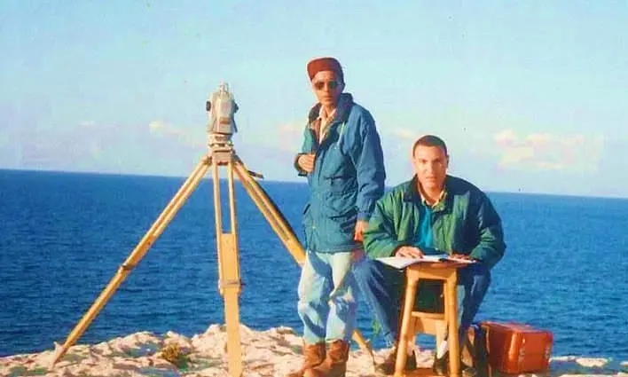
The Technical Office for Surveying Works & Land Subdivision was founded in Alexandria in 1990 by Eng. Mostafa El Fadaly. It provides surveying and geomatics services to government bodies, contractors, real estate developers and consulting offices.
Our work runs from surveying and subdividing farmland, through publishing the maps and atlases of Alexandria and Cairo, to survey works for roads, axes, new cities and power plants, and acting as survey consultant for the Armed Forces Engineering Authority.
To be the first-choice survey partner for national and development projects in Egypt, and a trusted reference for accurate spatial data from planning to handover.
To meet our clients’ needs with the highest possible accuracy and the least waste and error, through trained crews, up-to-date instruments and technology, and strict commitment to quality and deadlines at every stage of a project.
Milestones from 1990 to today, each one a project or a stage in the office’s work.
1990
The office is founded in Alexandria by Eng. Mostafa El Fadaly.
1993–1997
Survey, planning and subdivision of 25,000 feddans in the Kilo 90 area.
1999–2001
Survey of villages west of Nubaria and 29 villages in North Tahrir.
2001–2006
Raml tram and Alexandria square maps, the Alexandria Atlas (126 maps), and the Al-Ahram award.
2007–2011
North Coast and Andalusia projects, the Desert Road, and the Rest House area (309 feddans).
2012–2014
Survey of more than 450 km of water network routes with El Nasr General Contracting (Hassan Mohamed Allam).
2014–2016
GPS control for the Wadi El Natrun – El Alamein road (90 km), the South Alamein axis (48 km) and the 30 June axis.
2015–2019
With the Egyptian Company: the Dabaa – Marsa Matrouh road, boundary setting-out for the 1.5 million feddans project, and the Sidi Barrani road (40 km).
2017
Start of work as survey consultant for the Northern Military Region and the Engineering Authority, and works for Petromint.
2018–2020
Mahmoudia axis, Montaza development, Zoo and Antoniadis gardens survey, Bashayer El Kheir and Masharef, and the Taameer axis.
2021–2022
Hayah Karima (phase one), Sawari and Moroug, and the start of work at the Dabaa nuclear power plant.
2023–2024
New Alamein projects as the owner’s consultant, Hayah Karima (phase two), and Rayah suburb.
2026
Road works on the Taameer and Maria axes, roads for Masharef, Bashayer El Kheir and Bashayer 10, and the Palestine Hotel survey.
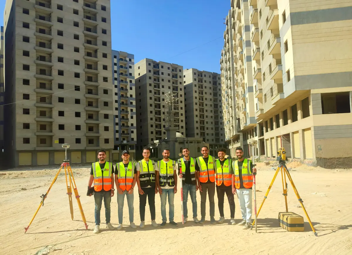
Instruments, people and a technical office that cover a project from field observation to delivering maps and models.
Services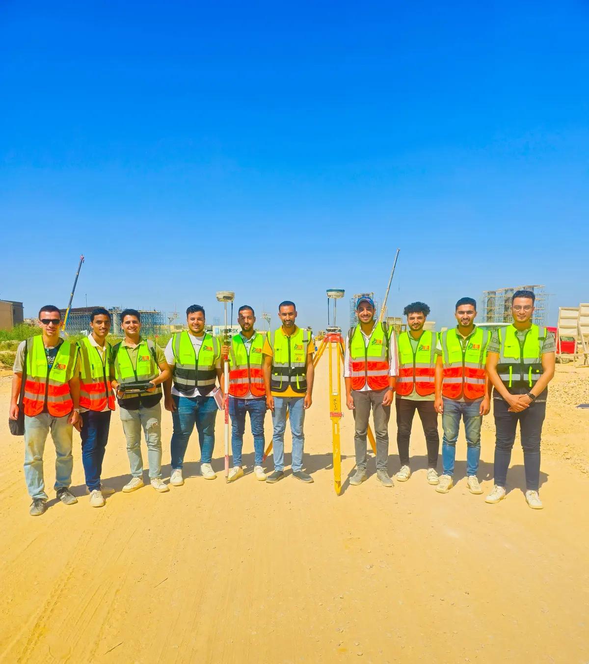
Crews for companies made up of a professional surveyor, an assistant and an instrument, ready to work without hiring or training new staff or buying equipment.
Programmes for surveying and geomatics students through their faculties, and for companies setting up or developing a survey department: hands-on training on total stations, GNSS and 3D scanners, and GIS and BIM software.
Government bodies and companies we have worked with, directly or through the contractors on site.
Send us the project location and the work you need, and we’ll get back to you soon.