Our services

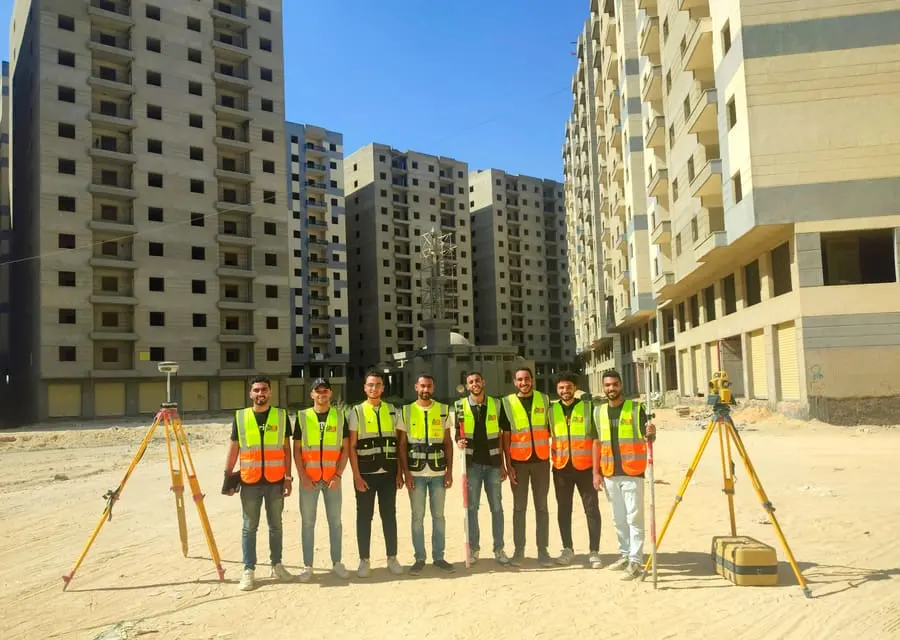
Surveying and geomatics services covering a project from field survey to delivering maps and models.

Topographic Survey
What we do
4 items
Deliverables
3
Projects
6

Topographic Survey

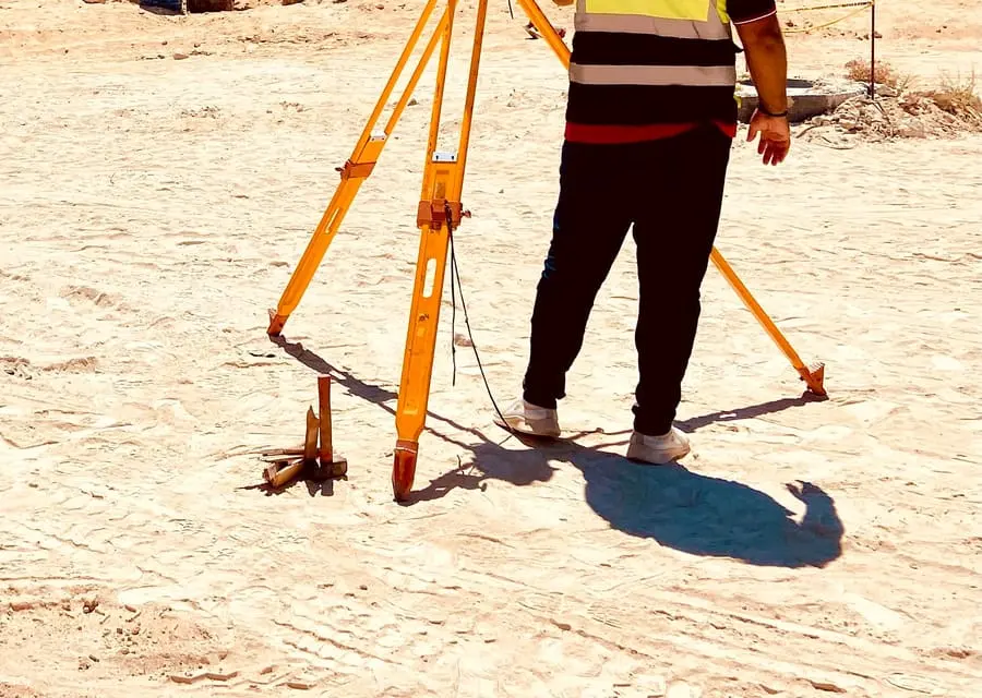
A survey is the first step of any project: we record the ground and everything on it accurately, and hand over maps and levels the designer, contractor and consultant can rely on.

  • Surveying existing features, boundaries, buildings and roads
  • Grid levels for project land
  • Longitudinal and cross sections for roads and networks
GNSS & Control Points
What we do
4 items
Deliverables
3
Projects
2

GNSS & Control Points

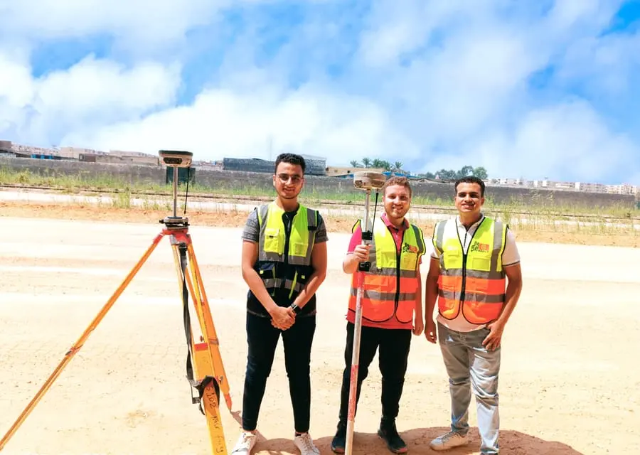
Control points are the reference every part of a project is built on. We set them out and observe them with GNSS, tied to the national network, so all later work shares one reference.

  • Designing and monumenting control networks
  • GNSS observation of control points
  • Control along long road corridors
3D Laser Scanning
What we do
4 items
Deliverables
3
Projects
2

3D Laser Scanning

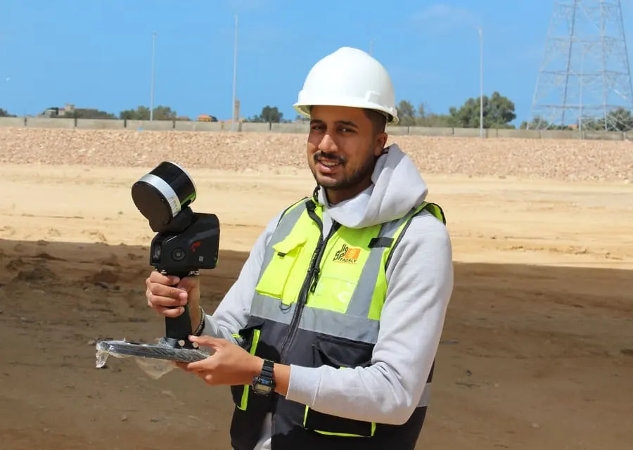
We document existing buildings, bridges and structures by laser scanning, producing a point cloud of the structure as built, quickly and without stopping work on site.

  • Mobile scanning on the move with the SLAM100 LiDAR
  • Terrestrial scanning with the SOUTH SPL370 for fine detail
  • Documenting historic buildings and existing structures
Scan to BIM
What we do
3 items
Deliverables
2
Projects
2

Scan to BIM

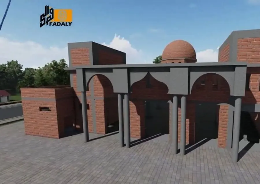
We turn the point cloud from a 3D scan into a digital model of the building or structure, used by owners and designers for development, restoration and facility management.

  • Processing and cleaning point clouds
  • Modelling architectural and structural elements
  • Comparing the as-built condition with the design
Setting Out & Construction Survey
What we do
4 items
Deliverables
2
Projects
1

Setting Out & Construction Survey

We take the design from the drawing to the ground: setting out axes, foundations, roads and utilities accurately, and following construction through to handover to the consultant.

  • Setting out building axes and foundations
  • Setting out roads, utilities and networks
  • Setting out steel structures
Survey Supervision & QC
What we do
4 items
Deliverables
2
Projects
5

Survey Supervision & QC

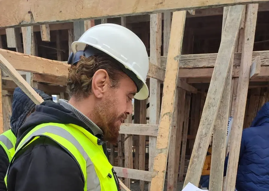
We act as the owner’s survey consultant: we review and approve contractors’ survey work and make sure construction matches the design before handover. This is the role we play for the Engineering Authority on a number of national projects.

  • Reviewing and approving contractors’ survey work
  • Establishing and checking control inside projects
  • Following construction with progress reports
Mapping & GIS
What we do
4 items
Deliverables
3
Projects
1

Mapping & GIS

From the Raml tram maps in 2001 to the Alexandria and Cairo atlases, the office has produced detailed maps and street and service databases used by state institutions.

  • Detailed city and area maps
  • Databases of streets, landmarks and services
  • Atlases and printed maps
What we do
3 items
Deliverables
2
Projects
—

Aerial & Drone Survey

For large areas and hard-to-reach sites, we use aerial imaging to document the site and produce maps and 3D models in less time than a ground survey.

  • Aerial imaging of sites and projects
  • Documenting construction stages
  • Producing maps from aerial imagery
Survey Crews & Equipment
What we do
4 items
Deliverables
2
Projects
1

Survey Crews & Equipment

We provide companies with complete survey crews (surveyor, assistant and instrument) monthly or per project, and sell and rent survey instruments and accessories. We supplied crews to more than 40 companies and contractors inside the New Alamein projects.

  • Survey crews monthly or per project
  • Sale and supply of survey instruments
  • Rental of total stations, GNSS and levels
What we do
4 items
Deliverables
3
Projects
—

Structural Monitoring

We follow how structures behave during and after construction: we monitor settlement, deformation and tilt at regular intervals and report back, so the consultant and owner can act in time.

  • Settlement monitoring of foundations and structures
  • Deformation and displacement measurement
  • Verticality monitoring of towers and columns
What we do
4 items
Deliverables
3
Projects
—

Ground Penetrating Radar & Utility Detection

Before digging, we locate pipes, cables and buried objects with ground penetrating radar, reducing the risk of damaged utilities and stopped work.

  • GPR survey of buried utilities
  • Tracing pipe and cable routes and approximate depths
  • Detecting voids and subsurface objects
What we do
4 items
Deliverables
3
Projects
—

Point Cloud Processing & Digital Twins

We register and process point clouds from laser scanning and drones, and turn them into models and digital twins of the structure or site as it is, for design, operation and maintenance.

  • Registering and merging multiple scans into one cloud
  • Cleaning and classifying point clouds
  • BIM modelling and coordination from point clouds

Have a project that needs survey work?

Send us the project location and the work you need, and we’ll get back to you soon.

Send your project details