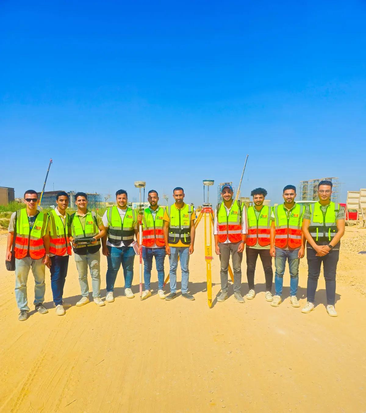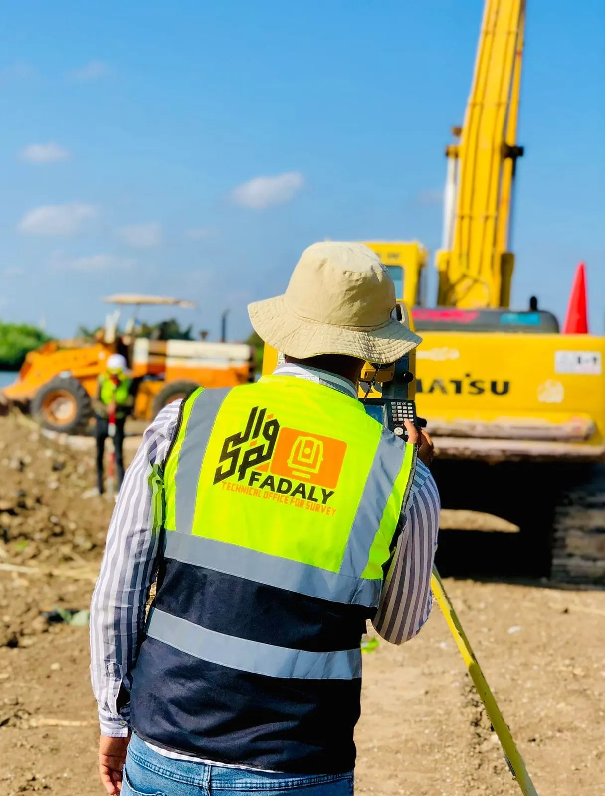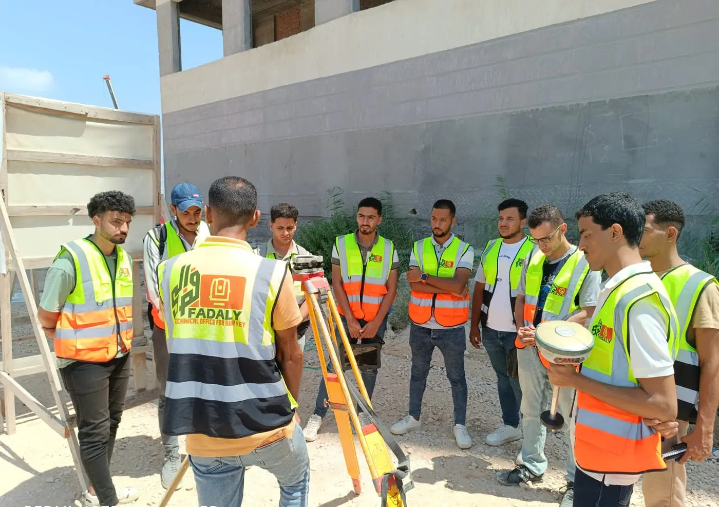
01 / 0830 projects
Alexandria
-
Alexandria
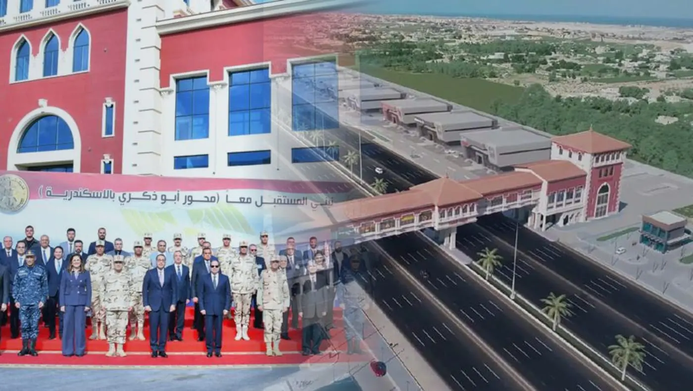
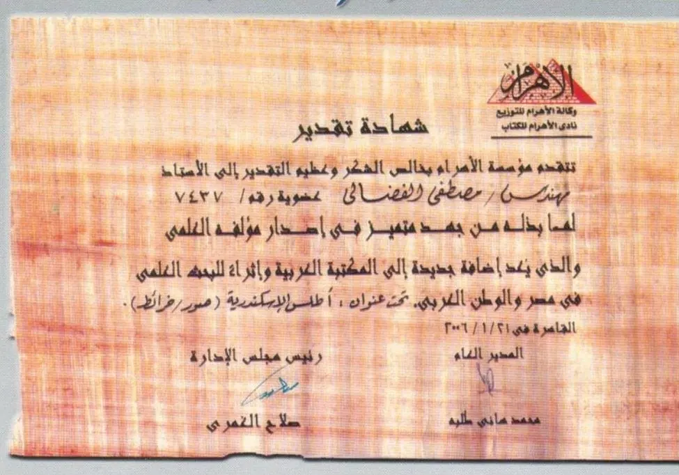
- Alexandria Atlas
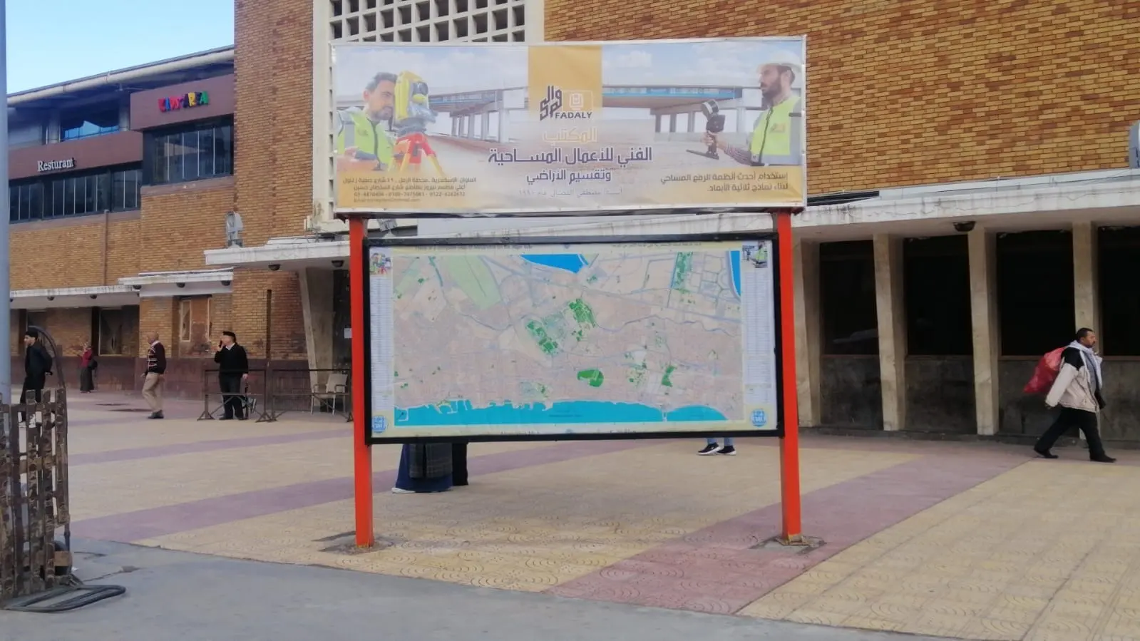
- Alexandria squares & entrances maps
- Raml tram station maps
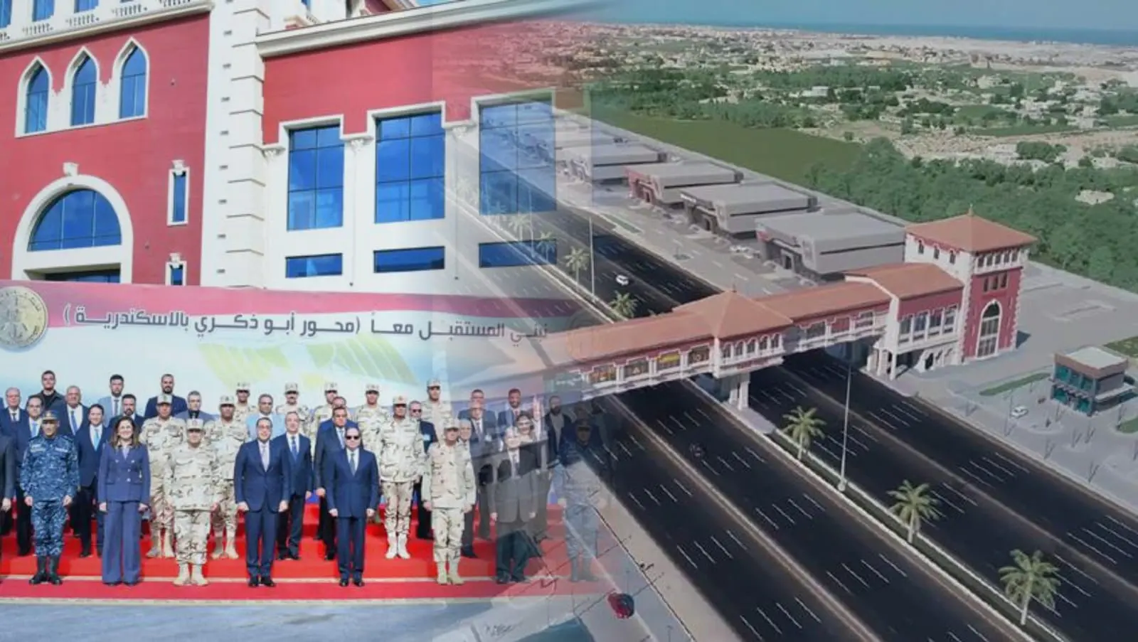
- Mahmoudia Axis — survey
- Mahmoudia Axis — phase 1 supervision
- Mahmoudia Axis — phase 2 survey & supervision
- Montaza survey
- Montaza gardens development supervision
- Palestine Hotel survey — Montaza
- Zoo & Antoniadis Gardens survey
- International Garden survey
- Shallalat Gardens survey
- Hunting Club land survey
- Moroug City — Smouha
- Sawari City — commercial zone & club area
- Bashayer El Kheir roads — Qabbary
- Bashayer El Kheir extension roads — Qabbary
- Bashayer El Kheir 3, 5 & extension — Qabbary
- Talaat Moustafa Hospital — 3D scan survey
- Survey — Nozha Airport
- Tasheed Real Estate Development
-
Abu Qir
- Survey works — Abu Qir Port
-
Amreya
- El Taameer Axis — phase 1 to Arouba Mall
- El Taameer Axis extension — phase 2 (14 km)
- El Taameer cross axes (A, B, C, D & the link)
- Masharef Abdel Kader roads
- Masharef Abdel Kader construction
- Tank survey — MIDOR, Amreya
- Gascool — survey works & control building survey
-
Borg El Arab
02 / 0814 projects
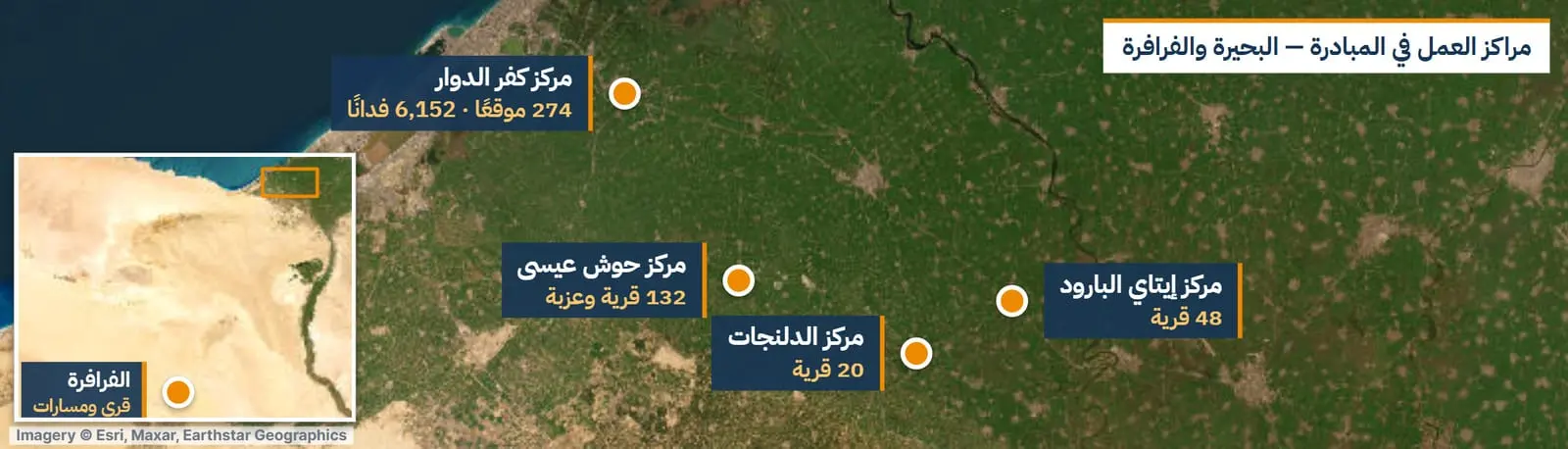
Beheira & Delta
-
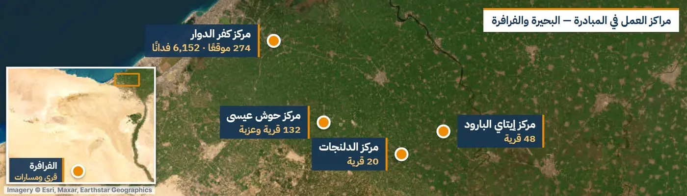
Kafr El Dawwar
- Bashayer El Kheir city roads — Kafr El Dawwar
- Bashayer El Kheir 10 & 11 — Kafr El Dawwar
- Rayah Suburb — Kafr El Dawwar
- Presidential Initiative “Hayah Karima”
- Tasheed Real Estate Development
-
El Delengat
- Presidential Initiative “Hayah Karima”
- Water network extensions — Delengat & Hosh Eissa
-
Hosh Eissa
- Presidential Initiative “Hayah Karima”
- Water network extensions — Delengat & Hosh Eissa
- New Hope Alexandria factory — Hosh Eissa
-
Itay El Barud
-
Nubaria & North Tahrir
- Salah El Abd water plant & Rest House area
- Village surveys — Nubaria & North Tahrir
-
Wadi El Natrun
- Tree forest & treatment plants — Wadi El Natrun
- Wadi El Natrun – El Alamein road
-
Kilo 90 — Desert Road
- Kilo 90 survey & subdivision
- Desert Road upgrade
-
El Mahalla El Kubra
- Networks survey — El Mahalla El Kubra, Zefta & Samanoud
-
Zefta
- Networks survey — El Mahalla El Kubra, Zefta & Samanoud
-
Samanoud
- Networks survey — El Mahalla El Kubra, Zefta & Samanoud
03 / 0810 projects
North Coast & Matrouh
-
New Alamein
- Wadi El Natrun – El Alamein road
- New Alamein City projects
-
El Hammam
- El Salam Company (Eng. Fathy Hashish) — Tahiti village
-
North Coast — Sidi Abdel Rahman
- Andalusia Village
- Emaar Sidi Abdel Rahman & Al Amira resort
-
South Alamein (Maghra)
- 1.5 Million Feddans project — El Rif El Masry
-
El Dabaa
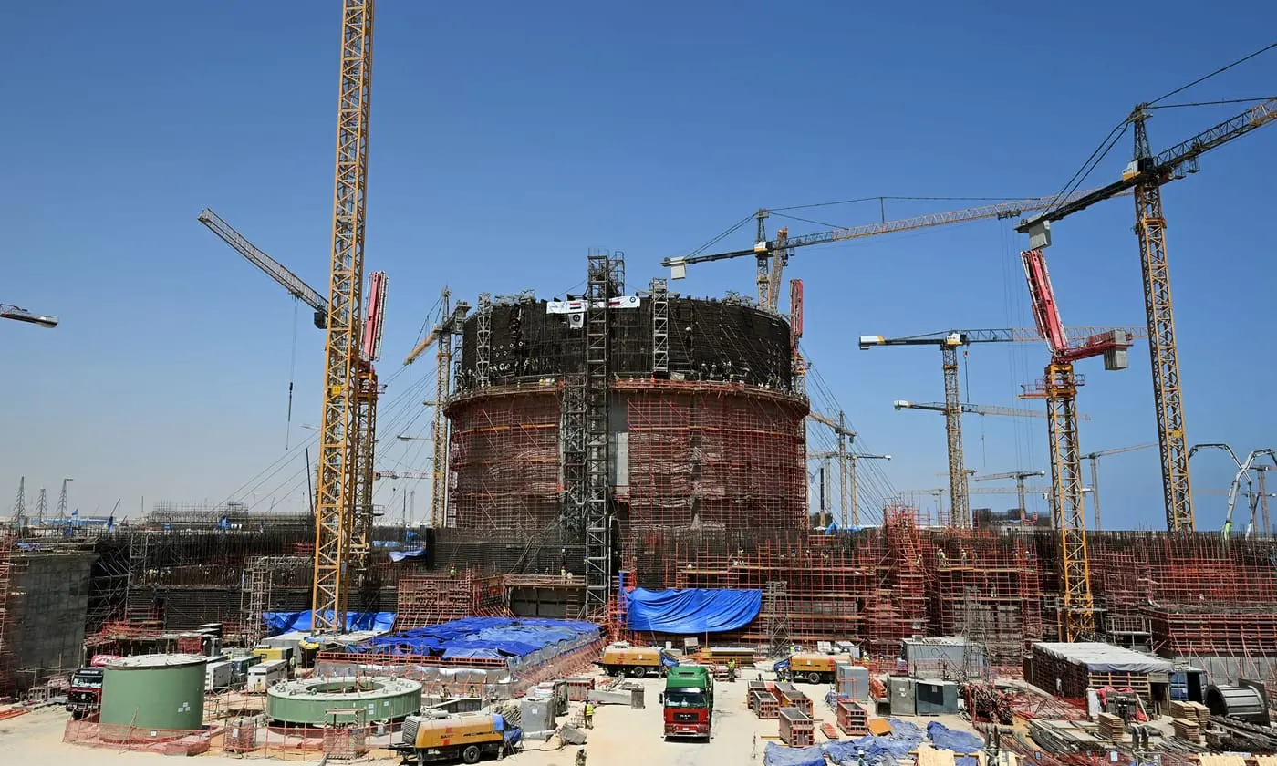
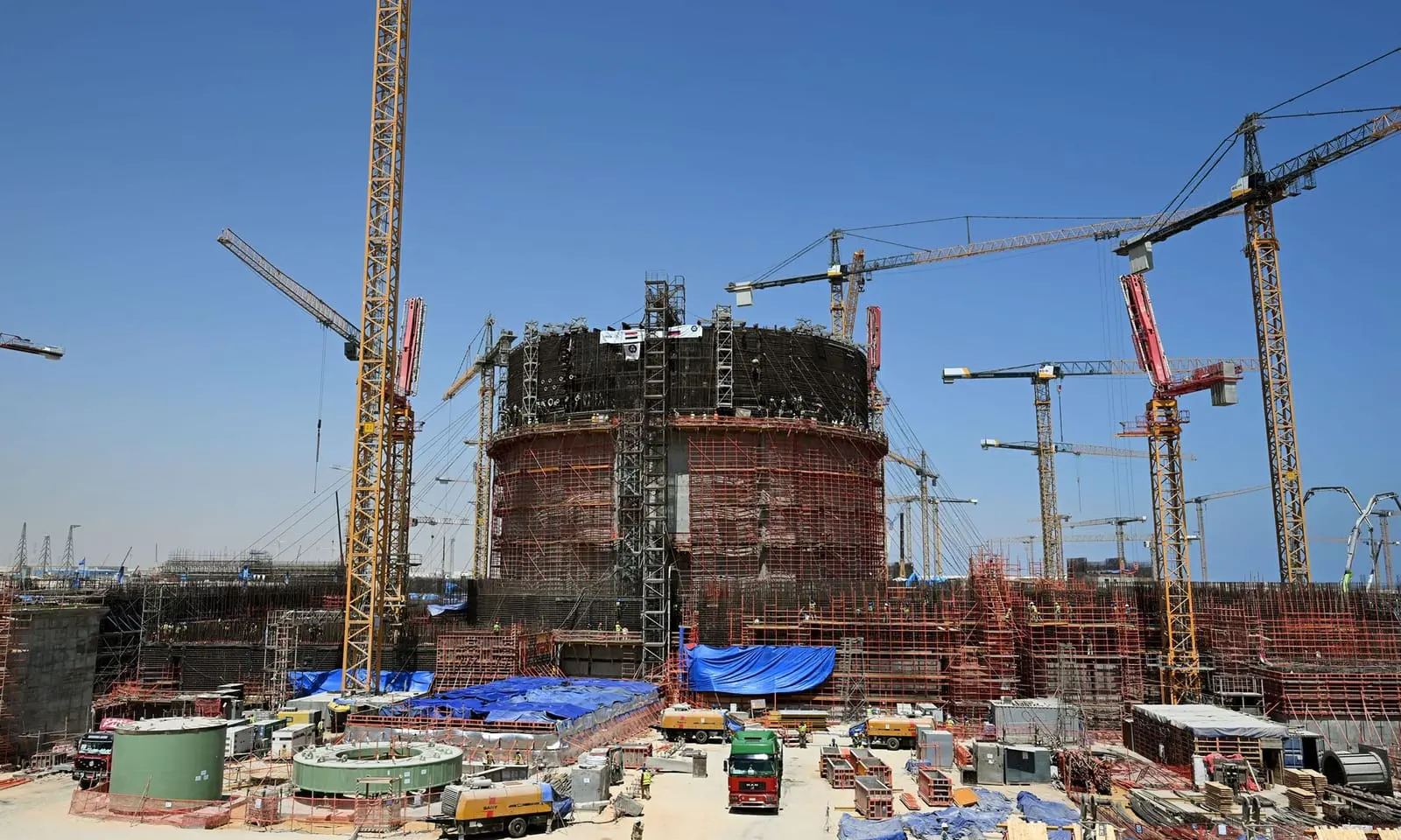
- El Dabaa Nuclear Power Plant
- Stockpile survey & approval — Soul North Coast
- Southern road, Dabaa to Marsa Matrouh
-
Marsa Matrouh
- Southern road, Dabaa to Marsa Matrouh
-
Sidi Barrani
- Sidi Barrani roads
04 / 086 projects
Greater Cairo
-
Cairo
- Cairo Atlas
- Various survey works — Greater Cairo
-
New Administrative Capital
- Survey works — New Administrative Capital
- Survey works & supply of survey crews — New Administrative Capital
-
Giza
- Tasheed Real Estate Development
-
6th of October
- Al Ammar Group
05 / 083 projects
Suez Canal & Sinai
-
Port Said
- Port Said Dry Port survey
- 30 June Axis (Ismailia – Port Said)
-
Ismailia
- 30 June Axis (Ismailia – Port Said)
-
Ras Sudr
- Petromint — petroleum company projects
06 / 081 projects
Red Sea
-
Ras Gharib
- Petromint — petroleum company projects
-
Hurghada
- Petromint — petroleum company projects
-
Safaga
- Petromint — petroleum company projects
07 / 081 projects
West Minya
-
West West Minya — approximate area
- 1.5 Million Feddans project — El Rif El Masry