Scope of work
Alexandria maps
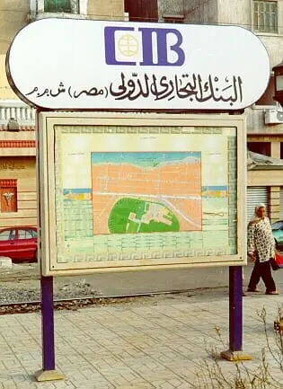
- Detailed maps of the Raml tram stations (2001), and full maps of the city’s squares and entrances (2002).
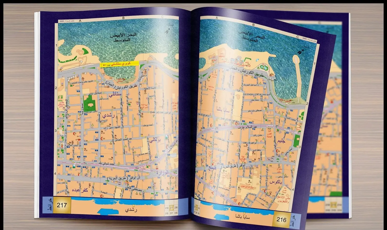
- The Alexandria Atlas: 126 detailed maps with alphabetical street and service databases (2005).
- A folding map in three languages: Arabic, English and French (2006), and the second edition of the “Alexandria Key” map (2011–2012).
The Cairo Atlas and public use
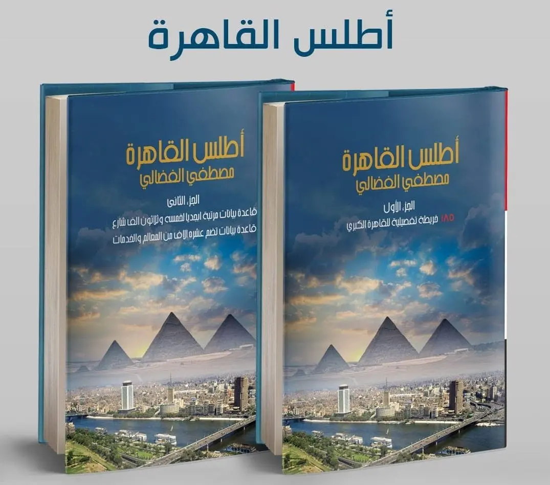
- The Cairo Atlas in two volumes: 185 detailed maps of Greater Cairo, and an alphabetical database of 35,000 streets and 10,000 landmarks and services.
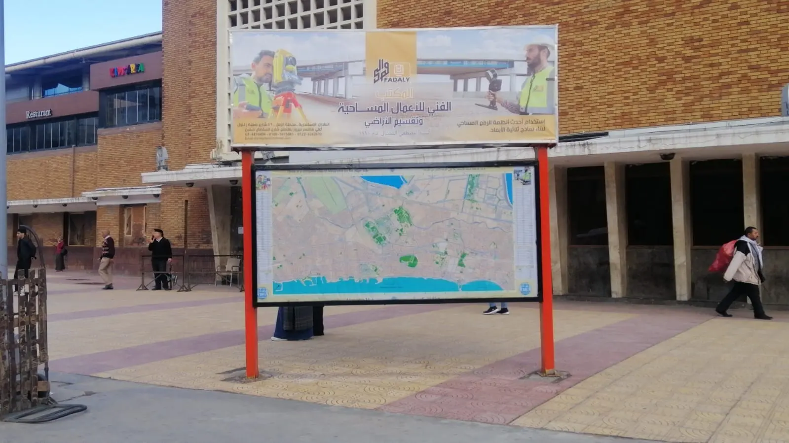
- The maps are used by state institutions (ambulance, police, fire brigade).
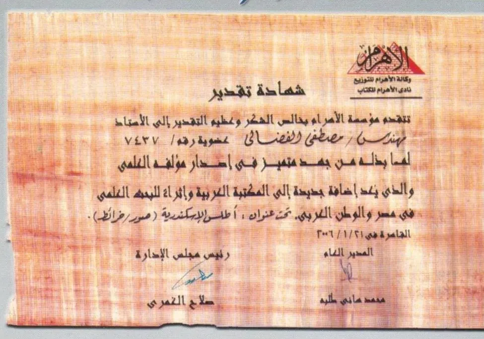
Winner of the Al-Ahram Foundation award for the Alexandria Atlas.