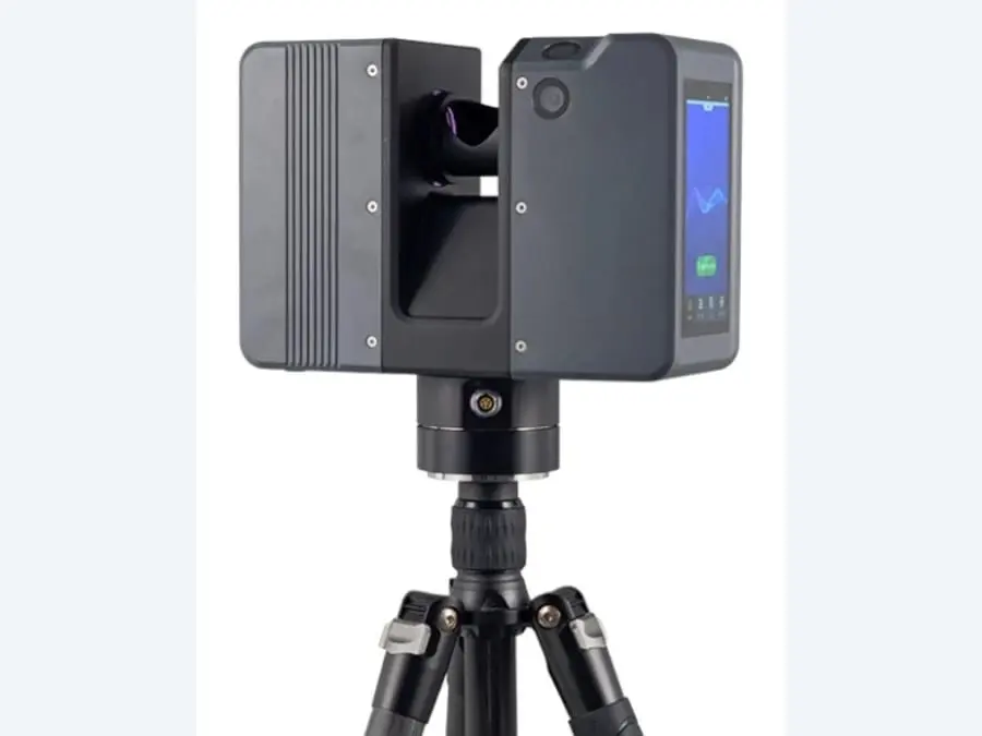
SOUTH SPL370
Terrestrial laser scanning
The SOUTH SPL370 is used from stationary scan positions. We plan positions to cover visible building details, then register the scans into a coordinated point cloud.

We document existing buildings, bridges and structures by laser scanning, producing a point cloud of the structure as built, quickly and without stopping work on site.
Request a quote for this service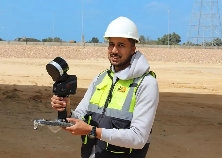
Laser scanning captures visible surfaces as spatial measurements. These points form a point cloud that can be reviewed, measured and used to produce drawings or a BIM model.
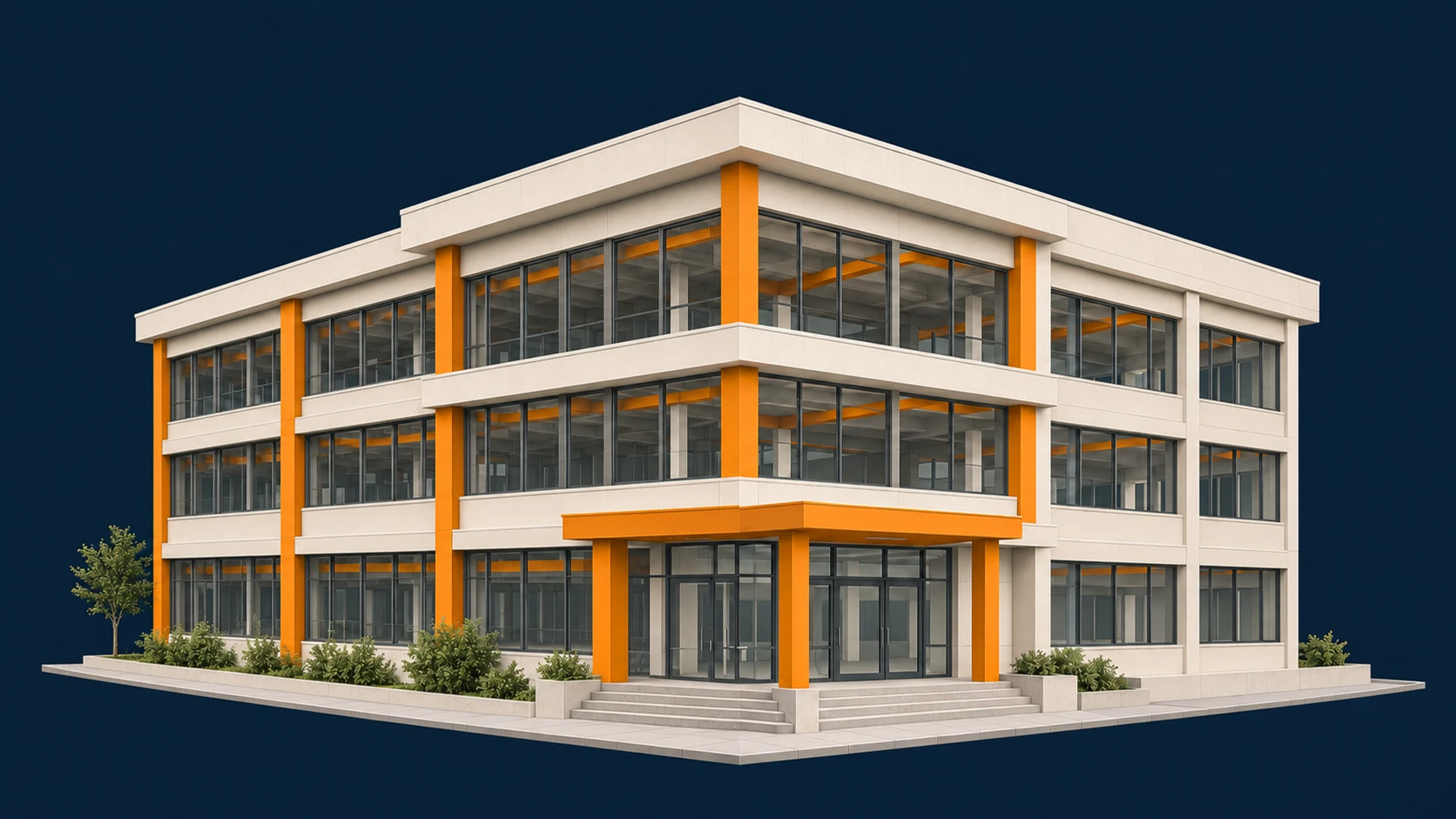
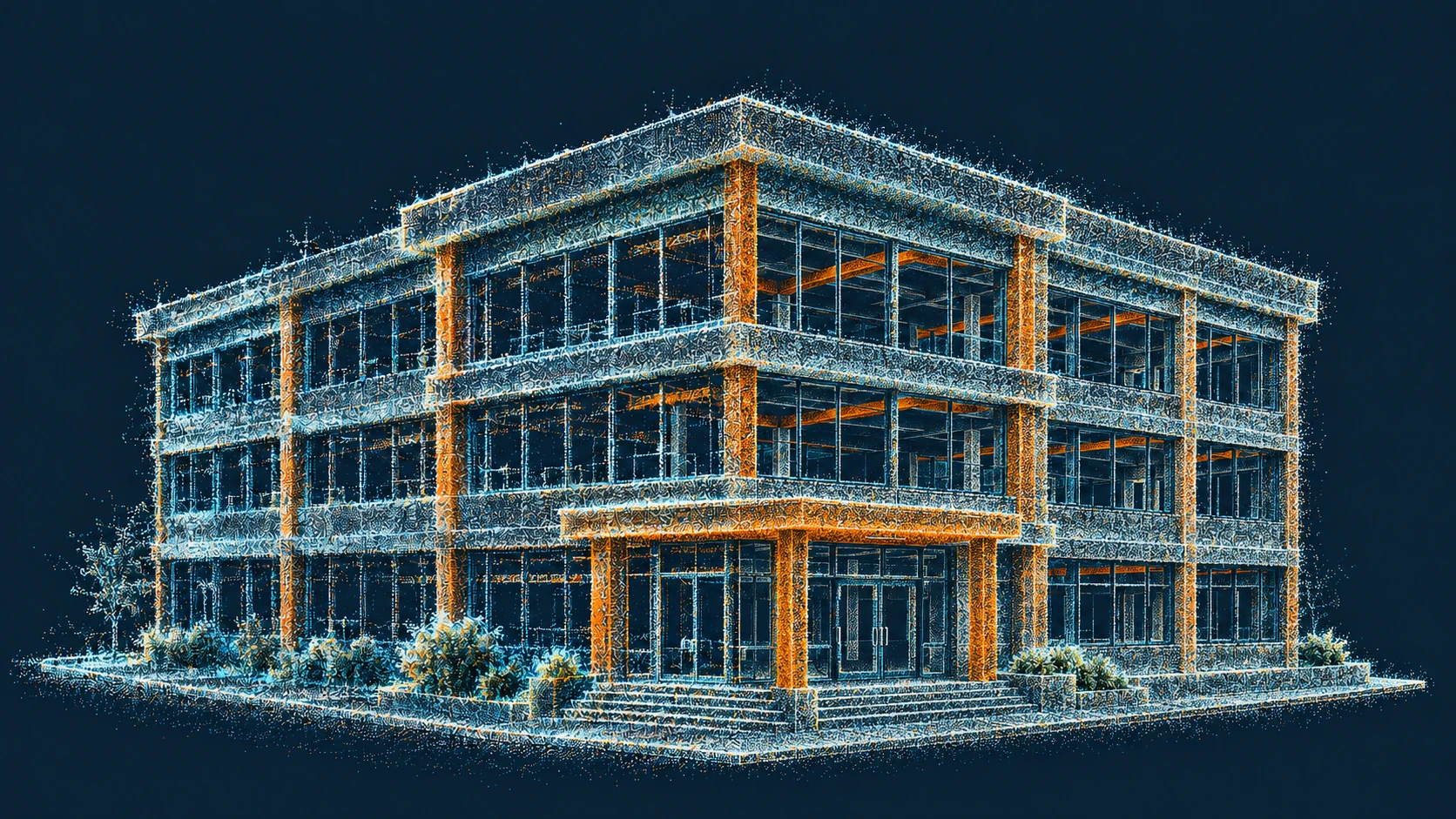
Drag the divider to explore both views. You can also use the arrow keys.
Explore an illustrative road intersection and bridge over an irrigation canal, with abutments, safety rails, lighting poles, pavements and road markings. Drag the divider to compare captured geometry with its modelled interpretation.
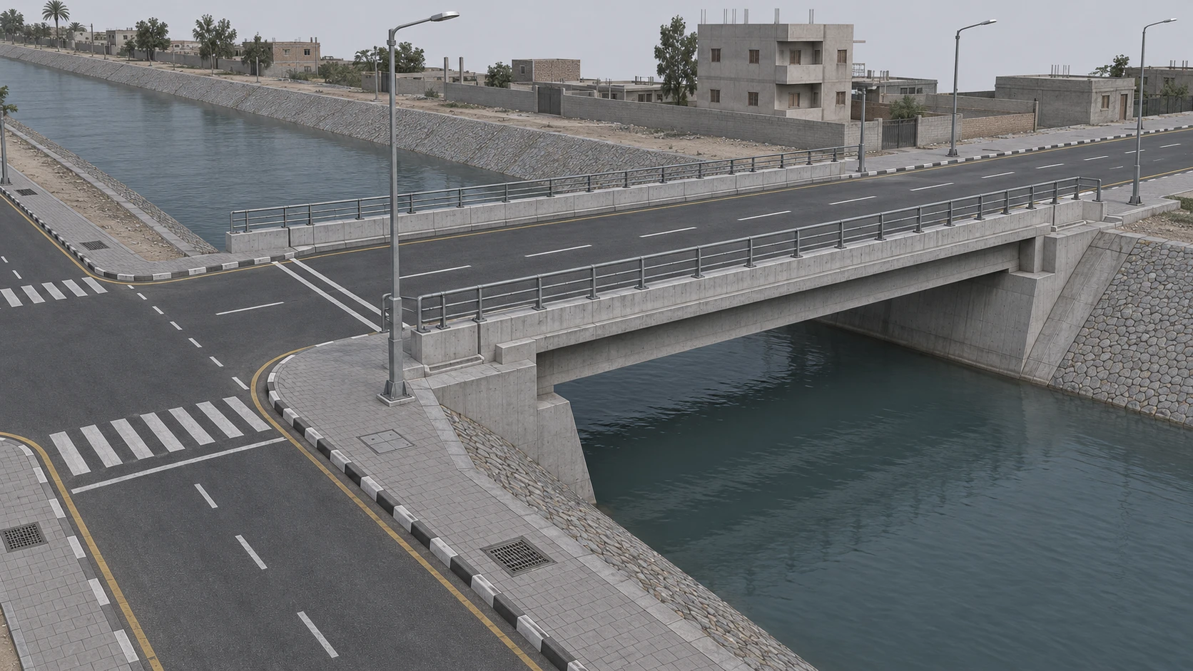
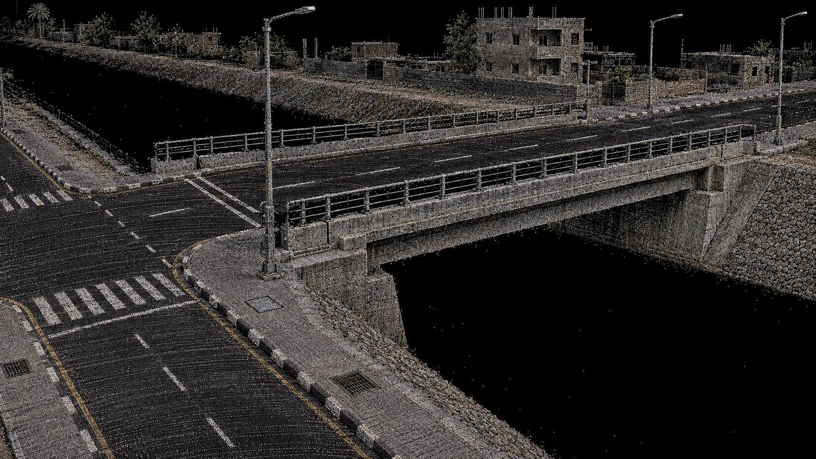
Drag the divider to explore both views. You can also use the arrow keys.
SOUTH SPL370
The SOUTH SPL370 is used from stationary scan positions. We plan positions to cover visible building details, then register the scans into a coordinated point cloud.
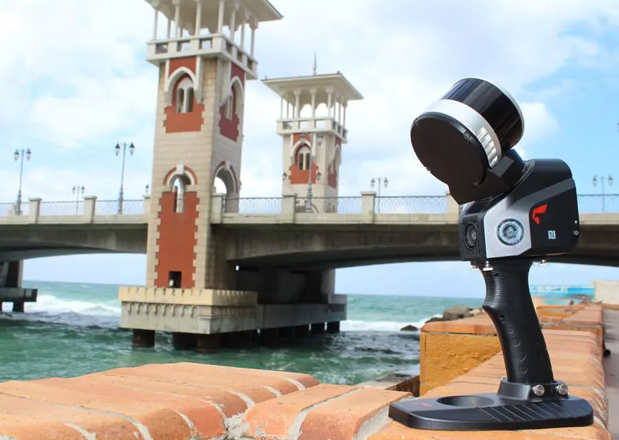
SLAM100 LiDAR
The SLAM100 captures data as the operator moves through the site. SLAM estimates the sensor path while building a map of the surrounding surfaces.
Agree the area, intended use, coordinate reference, required accuracy and deliverables.
Plan scan positions or walking routes, site access and control where required.
Register scans, clean unwanted points and review coverage and alignment.
Deliver the agreed point cloud, drawings or a separately scoped BIM model.
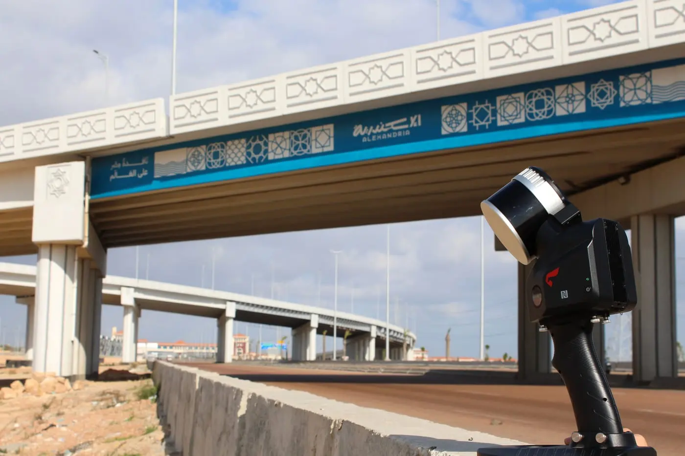
Atreem · 2025
SLAM 3D scan of the whole hospital while it stayed open, without disturbing patients: the full survey took two working hours and produced a complete model of the building.
Gascool · 2026
Survey works at several sites, including a control building survey and a 3D model in Amreya – El Nahda.
Send us the project location and the work you need, and we’ll get back to you soon.