Maps & atlases · 2001–2012

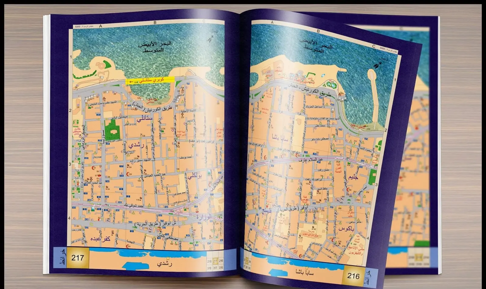
From the Raml tram maps in 2001 to the Alexandria and Cairo atlases, the office has produced detailed maps and street and service databases used by state institutions.
Request a quote for this service
Maps & atlases · 2001–2012
Send us the project location and the work you need, and we’ll get back to you soon.